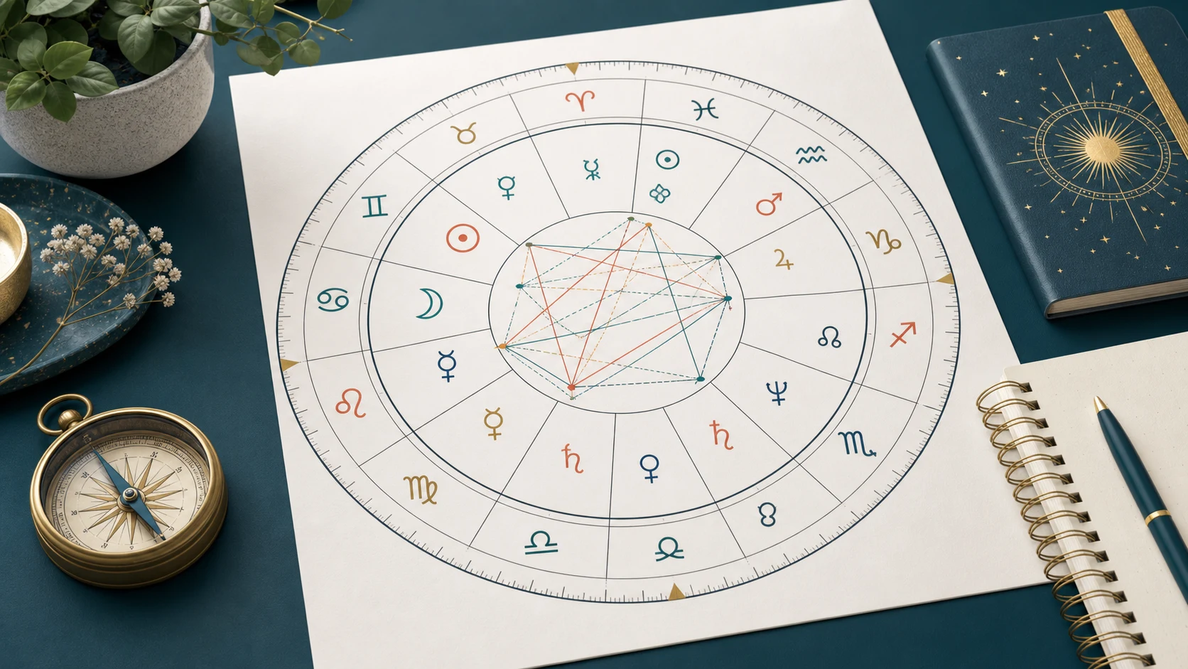

An astrocartography map projects selected birth-chart angles onto a world map. It shows where the Sun, Moon, and planets were on the Ascendant, Descendant, Midheaven, or Imum Coeli at the recorded birth moment. The lines can organize questions about place and personal experience, but they do not identify a guaranteed "best city," predict an outcome, or replace practical relocation research.
What the relocation chart actually plots
The calculation begins with a natal chart: birth date, recorded local birth time, and birthplace. Software converts the recorded civil time to the time scale used by its ephemeris, calculates planetary positions and local angles, then finds the geographic locations where each planet would be angular at that moment.
The four common line families are:
- Ascendant (ASC): locations where a planet was rising.
- Descendant (DSC): locations where a planet was setting.
- Midheaven (MC): locations where a planet was crossing the upper meridian.
- Imum Coeli (IC): locations where a planet was crossing the lower meridian.
The result is a symbolic geographic view of the same birth data, not a map of measurable forces. Different tools may use different map projections, line labels, display thresholds, or optional techniques, so two screens can look slightly different even when they use the same core data.
Why birth time and time-zone history matter
Birth time affects the Earth's rotation relative to the chart. A small time difference moves angular lines, but the practical impact depends on the chart, the location, and how close a place is to a line. Avoid universal claims that a few minutes always move a line by a fixed number of kilometres or always change its meaning.
Enter the time exactly as it was recorded and select the birthplace. Do not manually subtract daylight-saving time unless the tool explicitly asks for a converted time. Historical offsets and daylight-saving rules vary by place and year; a calculator should apply those rules consistently.
If the recorded time is approximate, keep that uncertainty visible. You can compare a reasonable time range to see whether the same line remains near the place you are considering. When the map changes materially across that range, treat the location-specific interpretation as uncertain rather than choosing the version you prefer.
How to read a line without turning it into a prediction
Start with one place and one line. Note the planet, the angle, and the distance between the location and the plotted line. Then turn the traditional symbolism into a question you can compare with lived experience.
For example, a Jupiter-MC line is often interpreted through themes such as growth, visibility, confidence, or opportunity in public life. A reflective question might be: "Does this environment give me realistic ways to learn, contribute, and be seen?" It is not evidence that a move will produce a promotion.
A Saturn-IC line may be associated with responsibility, structure, boundaries, or weight in home and family life. A useful question could be: "What commitments would this place require, and do I have the support and resources for them?" It does not prove that the location will be lonely or difficult.
This question-based approach keeps interpretation specific while leaving room for culture, finances, relationships, health care, immigration rules, employment, and personal choice.
What crossings and nearby lines mean
Maps may show several lines near one region. Read each planet-angle pair separately before combining them. A dense area does not automatically make a place stronger, better, or more dangerous; it simply gives you more symbolic factors to examine.
There is also no universal distance at which a line suddenly becomes active or inactive. Some astrologers use broad proximity ranges, but those ranges are interpretive conventions rather than scientifically established boundaries. Record the distance shown by the tool and compare it consistently instead of treating a loose radius as a guarantee.
Line crossings can be used as prompts for how two themes might interact. Keep the wording conditional: "This may highlight questions about..." is more accurate than "This location will cause...."
What a relocation map cannot decide
A relocation map cannot tell you where you will be safe, healthy, wealthy, loved, employed, or legally able to live. It cannot evaluate housing costs, climate risk, discrimination, medical access, visas, taxes, school quality, or a partner's needs. It also cannot establish that an event occurred because of a planetary line.
Use ordinary due diligence first for high-impact choices. Compare budgets, legal requirements, work options, support networks, and a realistic trial visit when possible. Astrology can sit beside that process as a reflective layer, not above it as a decision engine.
Do not use a line interpretation to delay professional medical, legal, financial, or mental-health help. Do not use fear-based readings to pressure yourself or another person into moving.
A practical way to compare two locations
Use the same process for each place:
- Confirm the recorded birth details and note any uncertainty.
- Generate the map with one calculator and keep its settings unchanged.
- Record the nearest planet-angle lines and their displayed distances.
- Write one neutral question for each line instead of an outcome claim.
- Add non-astrological evidence: cost, work, community, climate, legal status, and support.
- Compare what you learned without forcing a single "winning" city.
Open the ZodiaGlow astrocartography tool to generate a map and inspect the line labels. Save the practical evidence separately so the symbolic reading does not crowd out facts that matter to the decision.
Method and sources
- Swiss Ephemeris documents the planetary-position and house-calculation library used by many astrology applications. It supports the astronomical calculation layer; it does not validate astrological interpretations.
- Timeanddate time-zone resources document current and historical civil-time rules used when converting recorded local time.
These sources support calculation and time conversion. Meanings assigned to planets, angles, and relocation lines remain astrological interpretations rather than scientific findings.
Generate the map, then ask better questions
Use the free astrocartography map to see which angular lines appear near a place you know. Begin with a familiar location, compare the symbolism with actual experience, and keep uncertainty and practical evidence visible before exploring somewhere new.